An independent open data project for Uganda · All data free under Creative Commons Attribution 4.0 International
Skip to content

Datasets

Official data about Uganda from five public institutions, linked to the same places so they can be combined. Every dataset is free to use under Creative Commons Attribution 4.0 International.

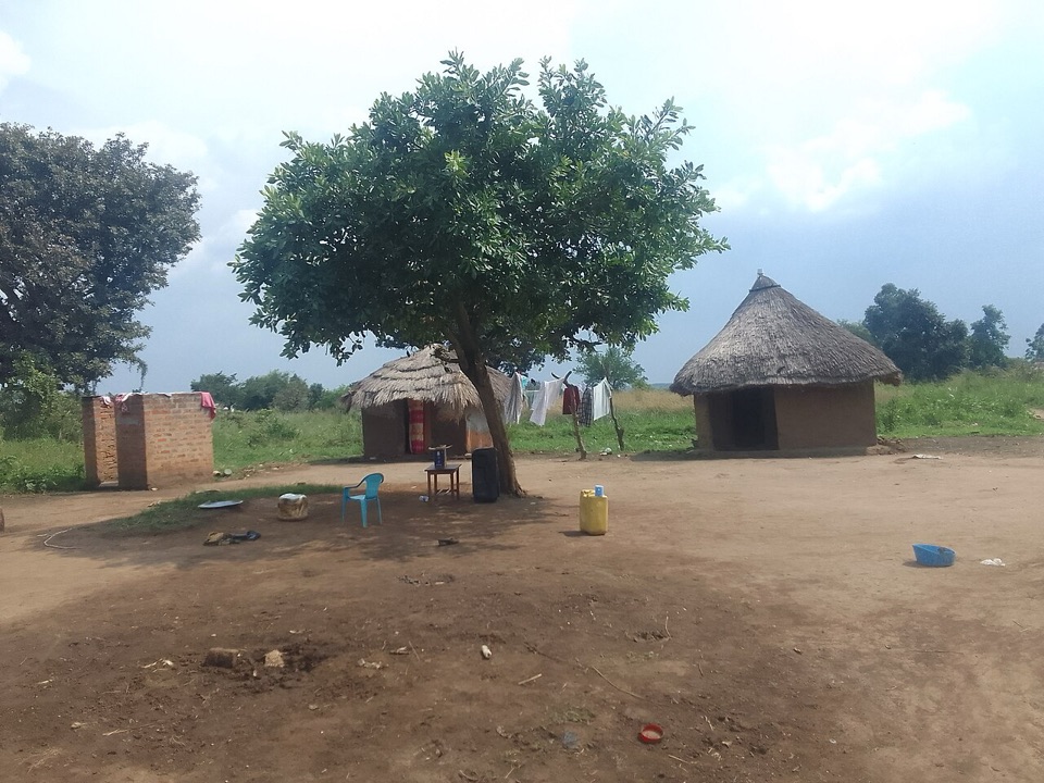
Homestead with grass-thatched houses
Boundaries and locations

Administrative units of Uganda

The administrative hierarchy of Uganda from regions down to villages: 4 regions, 15 sub-regions, districts (including cities and municipal councils), counties, sub-counties, parishes and villages, with the codes used by government and a crosswalk to ISO 3166-2, OCHA COD-AB P-codes, Wikidata, OpenStreetMap and GeoNames.

Records
85,213
Updated
Nov 9, 2026
Details, API and files

For other portals: the catalogue is available as W3C DCAT v3 JSON-LD and as JSON:API.